
Hallstätt has been on our list of places to visit for years. Though it’s about an hour and half from Berchtesgaden. We took the “scenic route”, with some “roads ” almost like the cow paths of Ireland (well, not quite, nothing is as bad as those roads), but there were some that are two way traffic but definitely one lane wide. More than once, either we would, or the oncoming vehicle would have to back up, or there might be a small shoulder to pull to the side. When Apple Maps says this is a non-toll road, they’re right.
Once off those roads, it was up into the mountains, decent roads, but switchback and some hairpin turns. Though it didn’t seem like we were climbing in altitude, I guess we did as my ears popped and we began to see a bit of unmelted snow in patches. The weather wasn’t great, it drizzled the entire way over and back.
There must have already been a lot of rain combined with the snow melt because the Salzach river (runs through Salzburg) and the other rivers and streams we passed were very high. The roads often had dense forests on each side of us and steep cliffs, many of which were covered with a steel mesh blanket to keep rock slides from covering the roads. Because of the drizzle, the clouds were low and it often seemed that the clouds hung down at the treetops. Along some parts of the road where there was no steel mesh blanket covering the rocky cliff, there were snow fences held by steel girders driven into the ground . I’m sure the snow gets deep here in the winter and without the fencing, there would be avalanches; we saw several places were there had been small avalanches and one bridge we crossed had just been replaced (construction equipment was still there) after being washed out. Of course it’s not all forest, there were clearings with farmhouses and grassy meadows full of little yellow flowers. I also noticed several sawmills, which I had not noticed before in our excursions through the area.
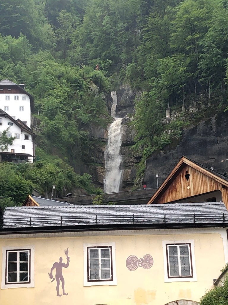
After driving for about 90 minutes, we entered the area of Hallstätt, going through two tunnels cut through the mountains to reach the town. Hallstätt has been named a World Heritage site, which guarantees a lot of tourism. Even though it was late afternoon and drizzly there were still tour buses and a fair number of tourists (like us) walking through town.
Until the late 19th century, it was only possible to reach Hallstatt by boat or via narrow trails, with the first road being built in 1890. Despite the difficulties of reaching Hallstätt, it was an early human settlement at around 5500 BC in main because of its salt deposits which had been mined for thousands of years. Salt mining has played a major economic role in this entire area and Salzburg (Salz means “salt”) and the salt mines near Berchtesgaden are evidence that this activity was not confined to one place.
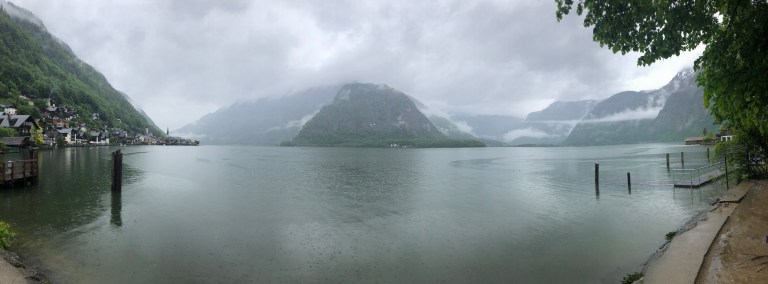
The lake is 3.7 miles long with a maximum depth of 410′ and a maximum width of 1.4 miles. Though seeing it stretch out before you, seems longer than that.
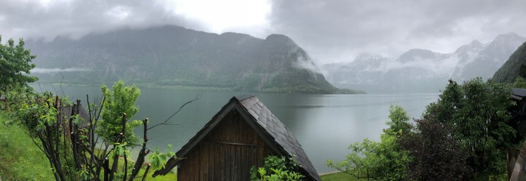
There is such a narrow strip of land between the lake and the mountains (seemed no more than 100 yards at its widest), that structures are built up the side of the mountain facing the lake and seems like they’re stacked on each other. The Evangelische kirche (Protestant church) is built on the lake side of the strip of land, but it’s not a very deep structure (goes up in height, but not in depth) because it sits directly on the lake’s edge.

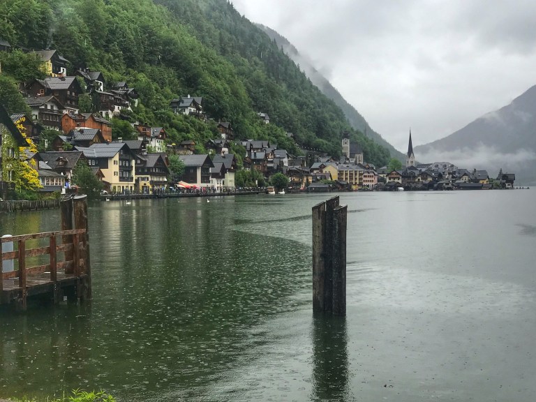
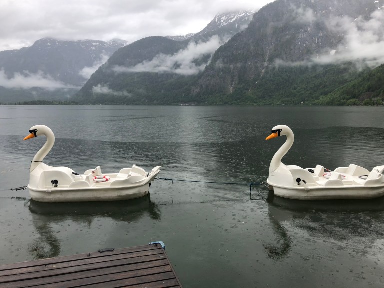
Of course, there are lots (and lots) of tourist souvenir shops, some restaurants, small hotels. There’s one main street that runs through the center of town, though there appears to be another on a higher up level. There are some shuttles that run up and down the street to minimize traffic, which is largely pedestrian.

To get to the other side of the lake, there is a lake cruiser, but it quit running a few hours earlier. Wouldn’t have been nearly as impressive today as on a clear day, but the tourist crowds would be crushing. The other side of the lake seems to have a few structures, but no town that we could see. Maybe next time.
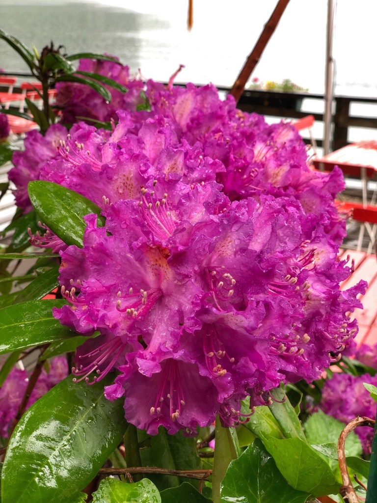
All this rain has contributed to some beautiful flowers and the lush forest that surrounds the town.
The good news now is we get to go back the same way we came here and find those cow paths.
