
There are more photos on Flickr and still some others in Instagram (search for dbender54).
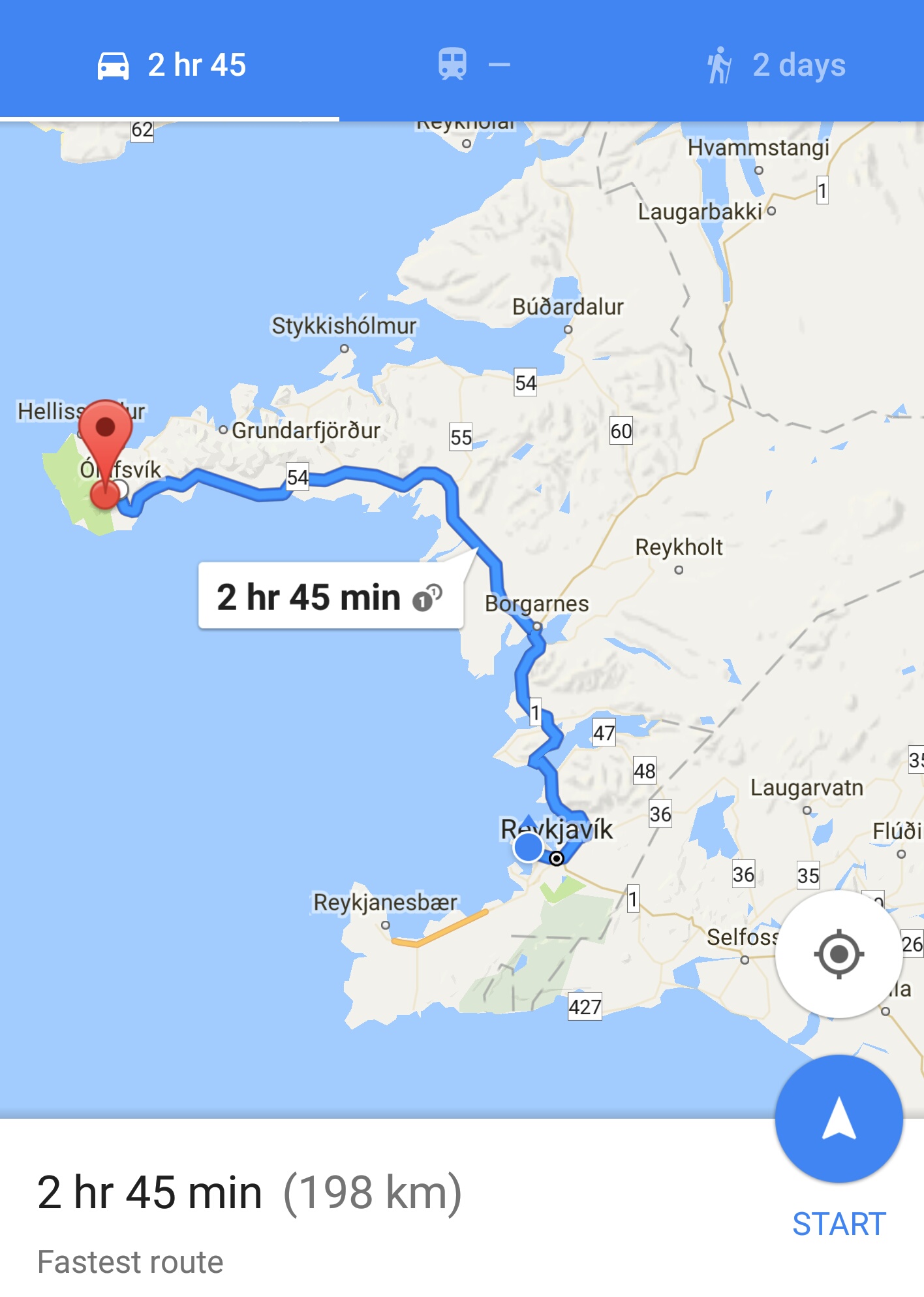
We drive to the northwest section of Iceland to Snaefellsnes Peninsula and the national park that occupies the tip of the peninsula.
We took route 1 (Circle Road) out of Reykjavik that took us to the Hvalfjöarðargöng tunnel . The tunnel goes under the Hvalfjörður fjord, shortening the distance by some 28 miles. The tunnel is 6km in length (2.4miles). It seems to slope down for about the first half of the journey, as I didn’t have my foot on the accelerator and was still going 70km/h.
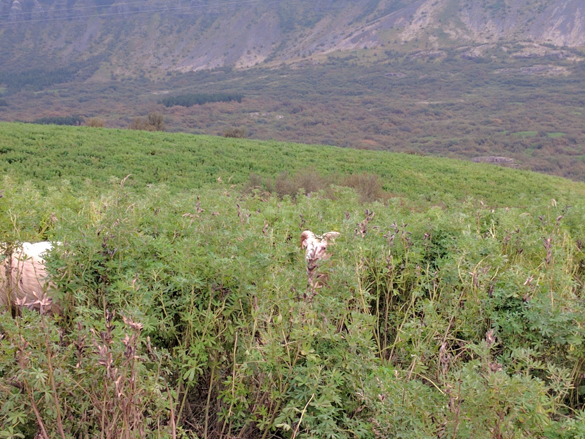
Exiting the tunnel started us going up (literally, in elevation) towards the northwest region, along a road that hugged the coastline at times. Initially, the landscape seemed less volcanic, but still mountainous off to the right as we drive (ocean to the left). There were lots of ranches with horses and the ever present sheep. They seem to graze wherever they want to- unlike Ireland’s Connemara park where the sheep graze in ranges without fences (but are color marked), these sheep seem to have no identifying marks.Being closer to the coast, there seems to be more vegetation.
But interspersed in the between grassy pastures are landscapes filled with the ever present volcanoes, often leaving the landscape littered with so much eruption debris (boulders, ash, pumice, lava flows), that the land is essentially unusable for ranching or farming purposes. The ranch houses, far back from the road are built up against the butt of the mountain or volcano above them, sometimes with tree brakes planted above to keep the snow away. We see so much of this and wonder at the contrast between their lives and ours. Where do the children go to school? We see hardly any schools and the ranches are many miles apart. A trip to the grocery store is really a trip! Are they staying up late updating their blogs on their cellphones? <just kidding>
Here’s our route.
We stopped for a few minutes to look at a small waterfall just off our route.
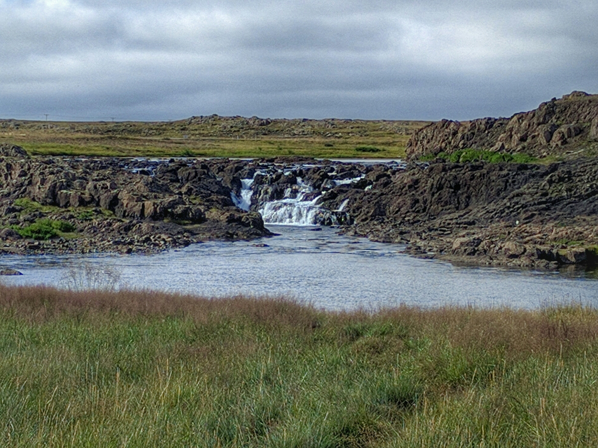
Then onward, as the drive to Snaefellsnes is going to take a while.
Pitstop-Blue dot. That’s us in the middle of nowhere, at a wide spot in the road with a gas station. Destination is the end of the peninsula.

In many other spots through which we’ve driven, we’ve seen gigantic lava flows, but there just wasn’t a place to pull off the road for a picture (most roads have no shoulder to speak of). The road we were on bisected an enormous lava field that was literally miles in size. The lava formations we’ve seen varied from being mounds several stories high, to ones that weren’t really that high, but with rocks that protruded several feet up in strange distorted shapes, and other formations that seemed like a lot of clumps. Only the son of a geologist would be fascinated by a lava field (thanks Dad 😉)
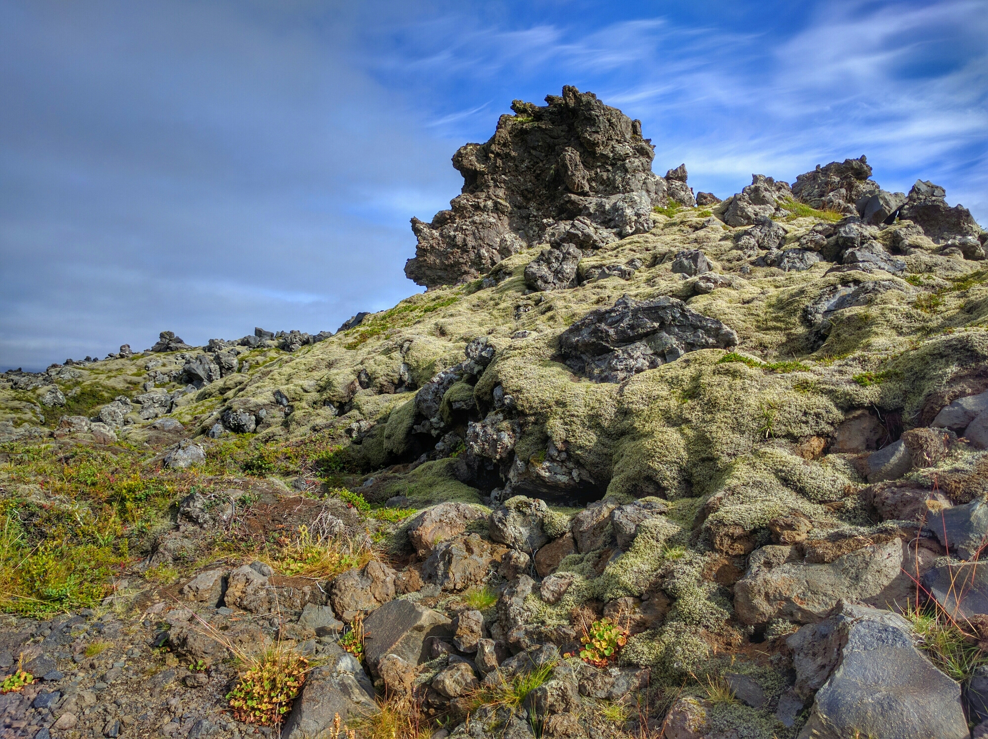
Considering the road we were on and the really sparse traffic, we could have stopped on the road.
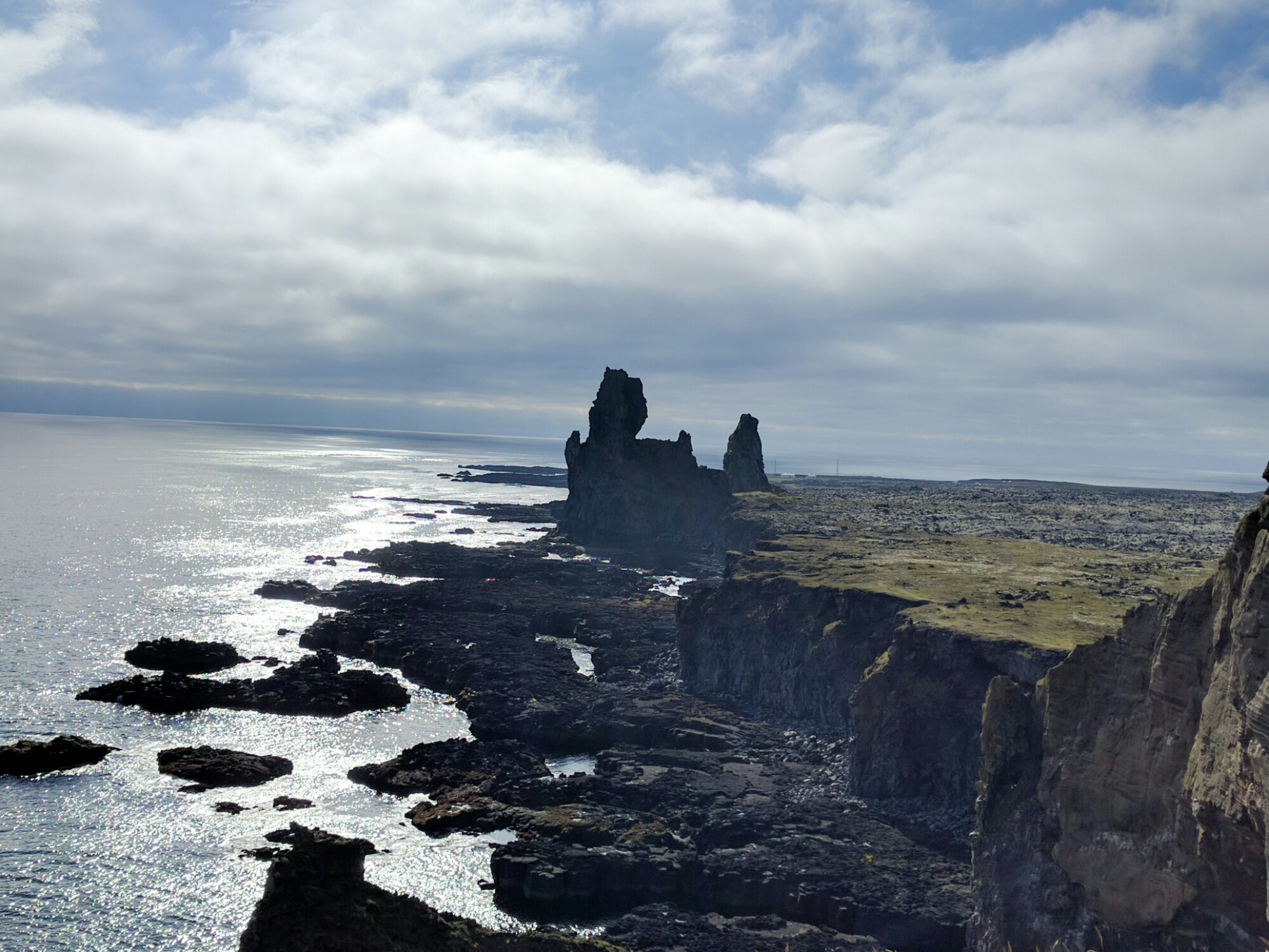
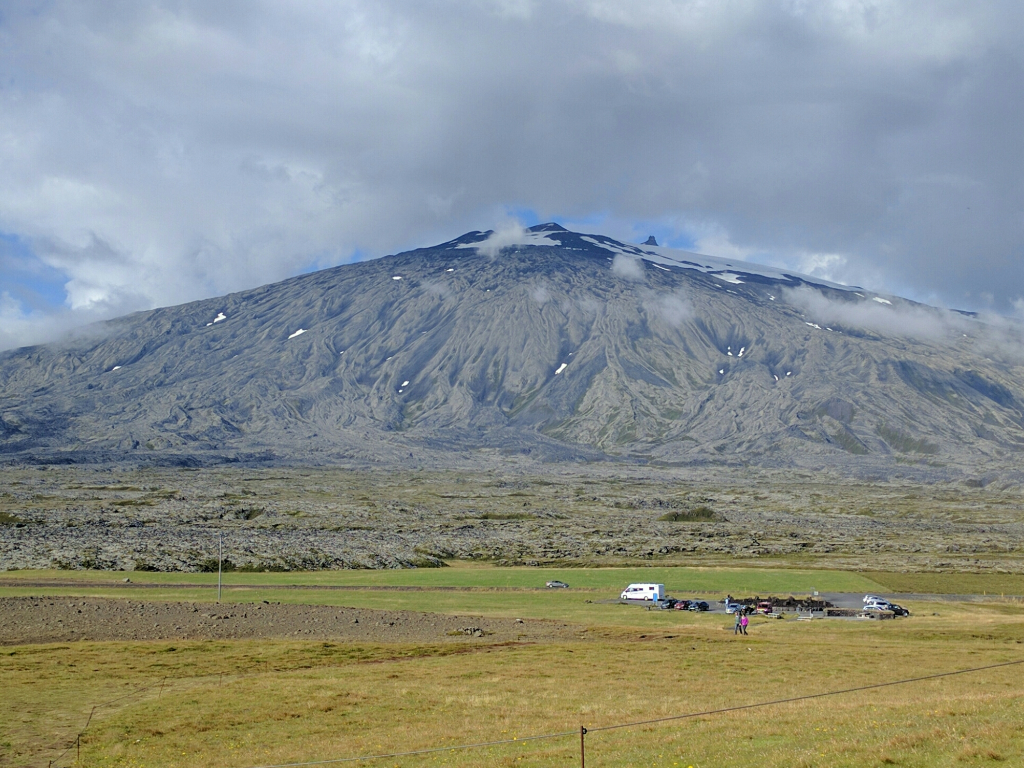
Entering the park, visible in the distance, was “the main attraction”. Lava flows can be identified if you look at the rocks that are light green (covered with lichen). Notice the dark basalt in the ocean below.
Behind us,
On the map, it says there is a visitor center. Shouldn’t be hard to find, but never saw it. We continued on, deciding we’d loop around the peninsula to get some more sightseeing in rather than backtracking. We stopped in Rif, Iceland. One combination gas station and grocery store for who knows how far.
GPS is great except when it gives you a route down 70km of a gravel road. So we rerouted as we ultimately wanted to see if we could visit Glymur Foss (falls) , which was supposed to be on a route back to Reykjavik.
This is roughly the route we took, with a side “trip” to Glymur.

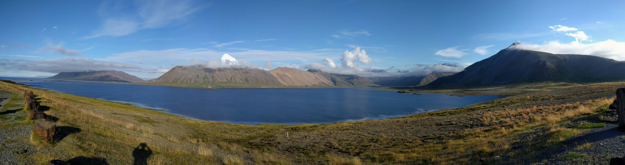
The route turned out to have some really spectacular scenery with high mountains and lakes.
We made a couple of photo stops, but it was nearly 8pm so we wanted to get to Glymur. A long solitary road led us to the turn-off to Glymur. To a dirt road. Ok, so, we’ve driven this far, we can drive 4km (2.4 miles) on the dirt road, right? There are a few sheep out here to keep us company and we passed one other car on the way there.
Then we come to
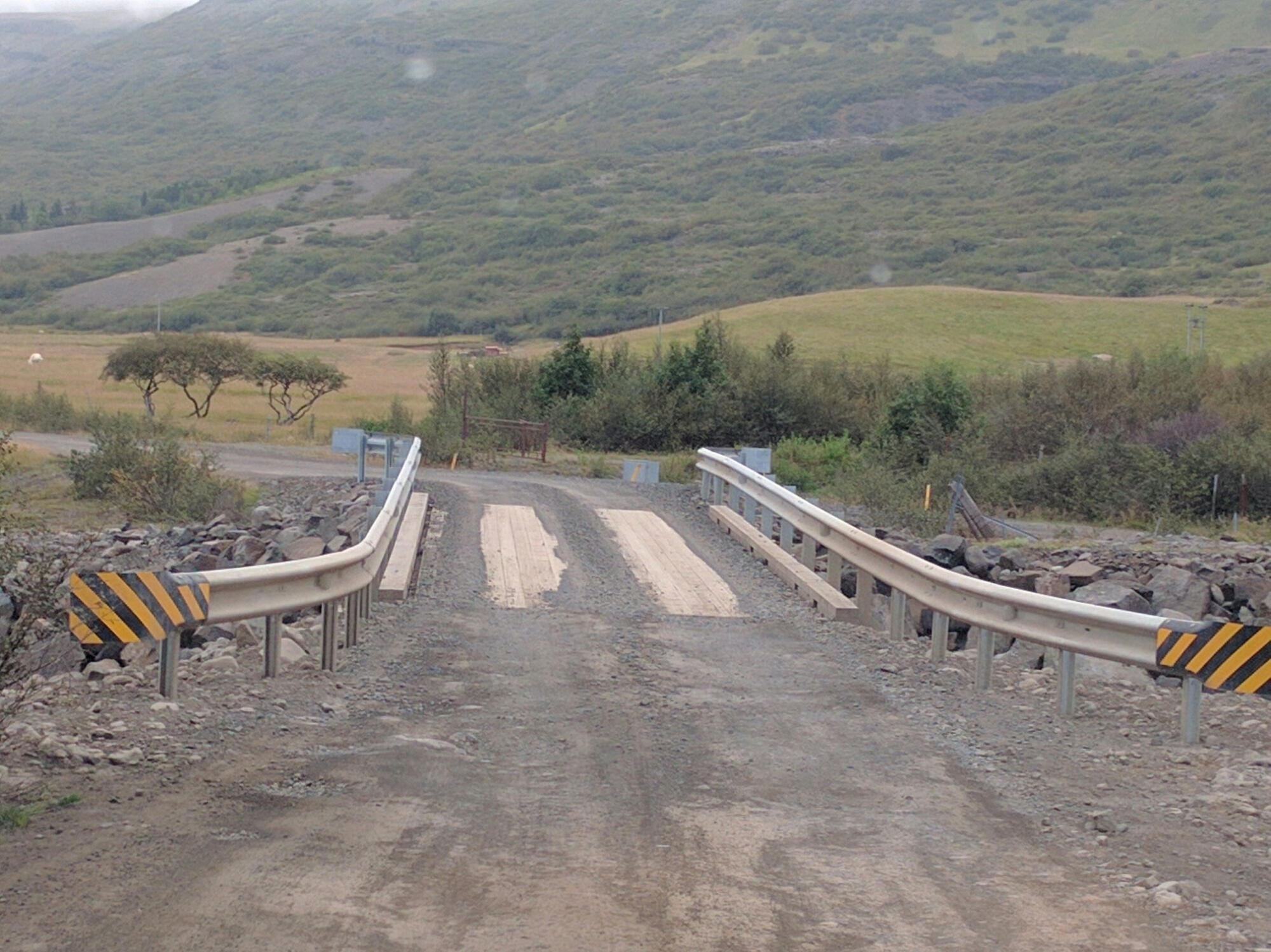
One lane bridge with boards in the middle. We really, really want to go? It’s only another few hundred yards according to the GPS. Yes, and when you do get there, the sign says it’s a good hike in, you should be a good hiker with hiking boots, private property (hike at your own risk). And it’s 8:30pm. Not gonna happen on this trip. I think the guidebook didn’t happen to mention a few details
Back down the bumpy dirt road, to the bridge, where another foolish traveler decides they need to be the first one over. Good, go visit Glymur. We’re outta here.
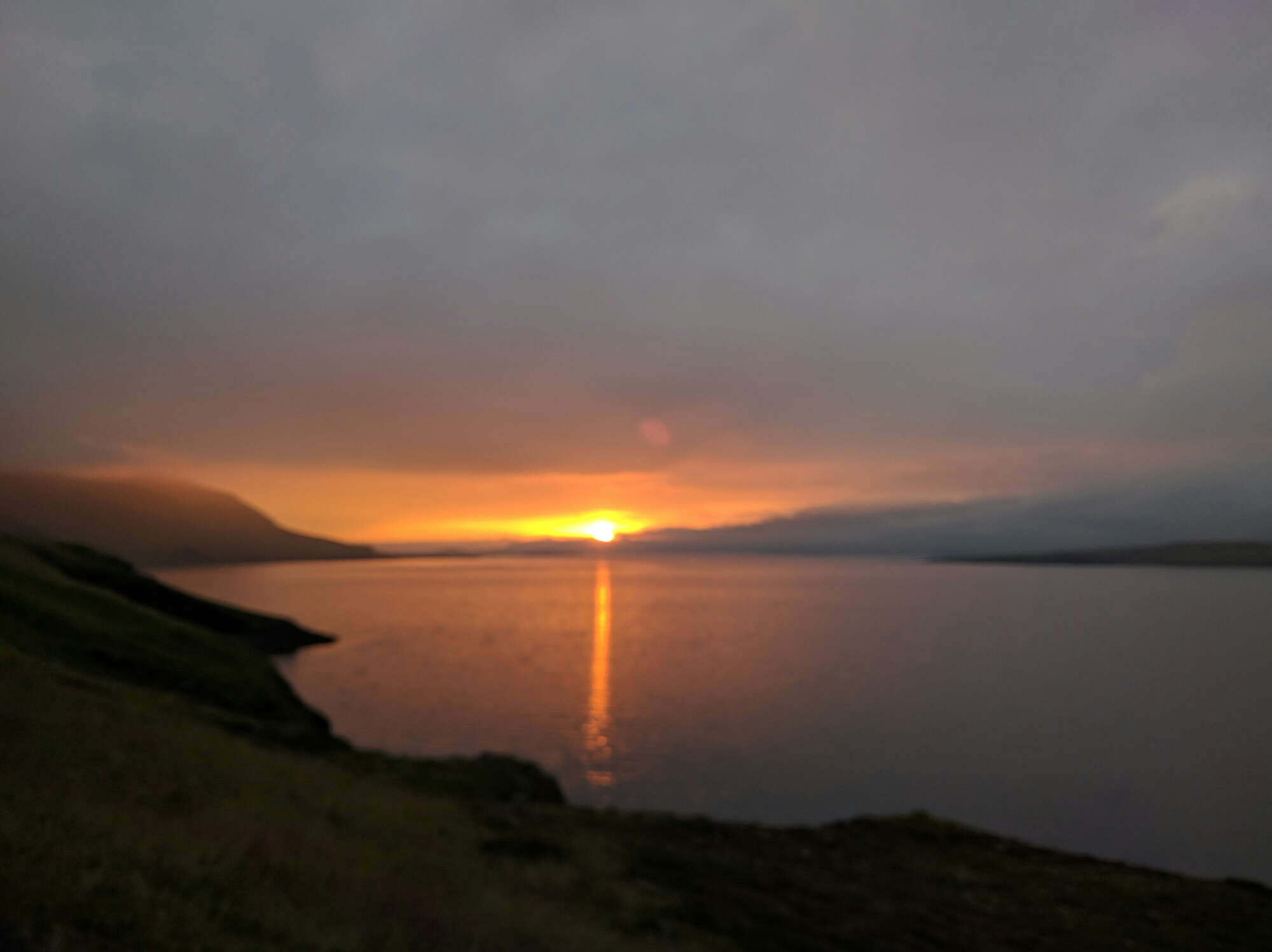
The best part of this detour is the rest of the road back to Reykjavik. Unlike the route this morning with the tunnel, where you saw nothing, this one hugs the coastline as it zig zags around, with the mountains immediately to your left and the ocean straight down below you on the right. It’s dusk, but still plenty of light.
There’s virtually no one else on this two lane road for miles. If there is one, you can see it far in the distance with their headlights. As we pass one section of the lake, I notice a tent put up in the area between the road and the edge of the cliff overlooking the bay below, with a bicycle next to it. We’ve seen so many cyclists on the road here in various parts of the island where we’ve been, with their (front and back) paniers loaded down with their gear, often a long ways from any civilization (and I’m sure that’s the point), but wondered what they did at night. This one, like many others I’m sure, just stopped where they wanted and set up for the night.
And the views they were probably hoping for were spectacular.

10 pm and back at the hotel.
Iceland amazes every day.
