
Trip 48
November 6, 2024
We decided to take a bus tour of an area of Northern Ireland that we last visited when driving a rental car in 2011. At that time, my family thought I was going to kill them driving Ireland’s roads – winding (somewhat) narrow country roads with high hedges. On that trip, especially in the Republic of Ireland , when rounding a blind curve, we encountered sheep crossing the road, tour buses, 18 wheelers and a gypsy caravan. I opted to take a bus tour with all the compromises that entails – more limited time at each point of interest and some points of interest eliminated. Of course, this is both the result of compressing a multi-day trip into 8 hours and shorter daylight (gets dark at 4:30 pm this time of year).
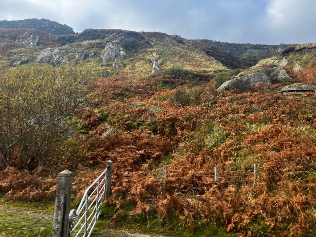
The landscape is rugged and very rocky. Lots of sheep grazing in “ladder farms” (separated by hedgerows and the sheep tagged with colored spray paint identifying the farmer). Except for one place, we never saw any cultivated fields.
As we drive along the coast of the Irish Sea, we were told of a large rock salt mine and saw a enormous dock that reached out into the ocean for ships to to dock and take in that cargo. We were also fortunate to see a few dolphin pods.
There were a few points of interest that were our primary goals – Carrickgfergus Castle, Dunluce Castle, the Dark Hedges and Giants Causeway. Two casualties of the bus tour and the time of year were Carrick-a-Rede and Bushmills Whisky (Whiskey in Ireland, Whisky in Scotland) distillery.
Our first stop was Carrickfergus Castle (‘the rock of Fergus’)
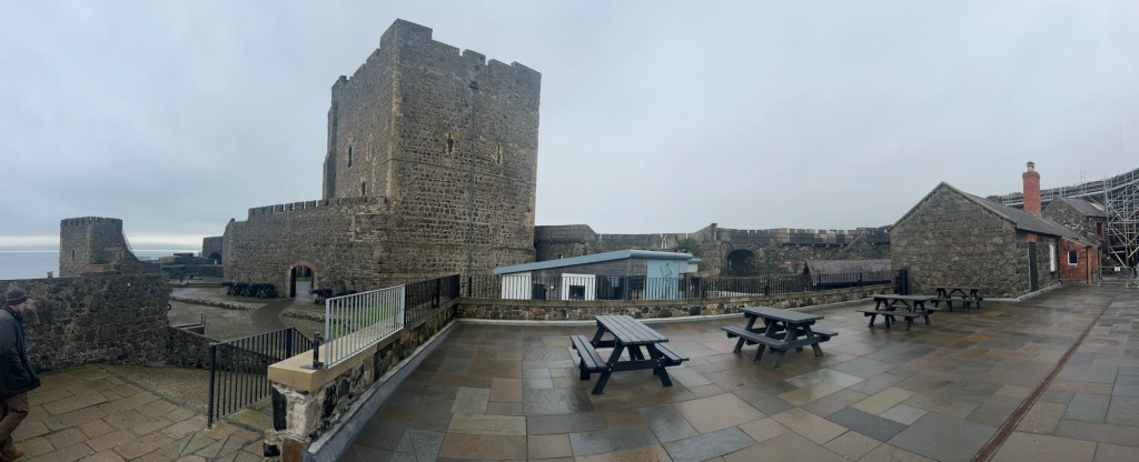
Carrickfergus Castle continued to be a fortress for 800 years even after the introduction of cannon as a siege weapon. The castle itself was first defended by cannon in the sixteenth century when this gatehouse was armed with cannon and musket loops. While it has seen many changes, it remains as one of the most intact Norman Castles in Britain and Ireland.
Carrickfergus Castle was used as a military stronghold for almost 800 years. Carrickfergus Castle was built in three stages.
The first stage or Inner Ward, built by John de Courcy in 1178-1195, was at the southern, seaward end of the rock and included the great tower or Keep.
The second, Middle Ward, built in 1216-1223, after King John‘s visit.
The Outer Ward completed the castle so that it covered the whole rock. It was built in 1226-1242 under Hugh de Lacy or possibly under the de Burgh Earls of Ulster. Its most striking feature is the gatehouse with its twin towers, originally circular but it also doubled the amount of defended space to hold a second hall, stores, stables and more lodgings.
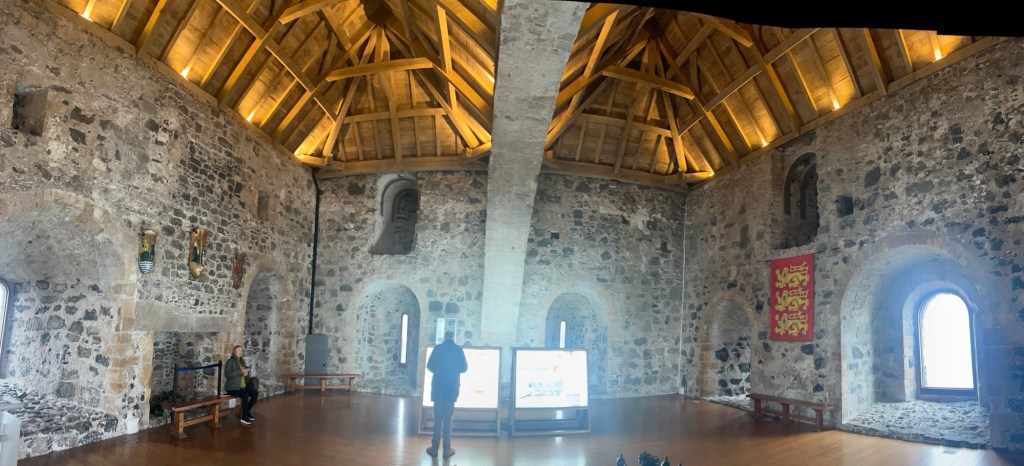
The “Keep” (The inner stronghold of a castle, usually found in one of the towers) has walls twelve feet thick, stores in its vaulted basement and a well, the keep was the safest part of the castle in times of war. It could not have been the most popular building in the castle, however, as it was hard to heat, there were too many stairs (stairs were also a defensive measure) and it was far from the kitchen which was in a separate building. A great many castles are constructed with a spiral staircase, usually in a clockwise fashion and often very narrow. A popular idea as to why is for the purposes of defense. If enemy combatants breach the castle and attempt to battle the defenders on the stairs, they would find fighting awkward. Since their weapons would be used in their right hands, they would collide with the central pillar of the spiral stairs while the defenders would have the advantage of the high ground. There is the thought that stairs were designed to be intentionally uneven or narrow in places to further make things difficult for attackers.
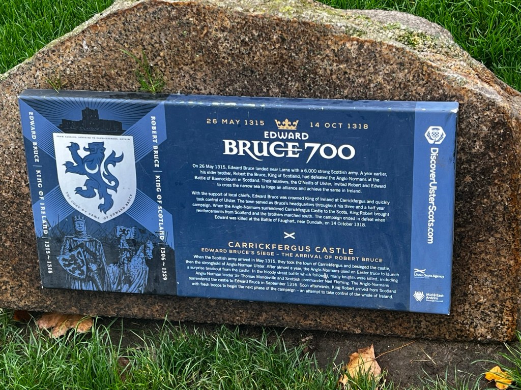
Though we didn’t get to see it due to the foggy day, Scotland’s closest point to Northern Ireland is only 18 miles away. This proximity made for a lot of interchanges between the two islands both in transplantation of peoples and royalty coming with their armies to conquer opponents.
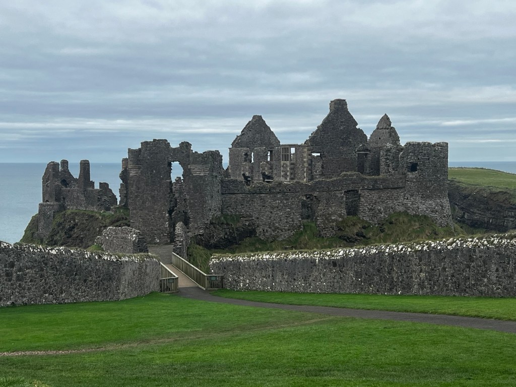
Dunluce Castle was our next stop. When we were here in 2011, we arrived at Dunluce too late in the afternoon to do anything other than look at it from the parking lot as it had already closed for the day. Largely in ruin now, the earliest standing remains date to around 1500 when the castle was established by the MacQuillans. By the mid 1500’s , they were ousted by the Scottish Clan MacDonald, then the MacDonnells. The English Crown was concerned with the growing power of this Clan and Queen Elizabeth I sent the Lord Deputy and he succeeded in besieging and taking Dunluce. The 1594, the Ulster Gaelic chieftains rose in rebellion against the Crown in the Nine Years War. The castle was largely left to ruin after 1650, after several buildings and the kitchen that faced seaward, fell into the sea during a storm in 1639.
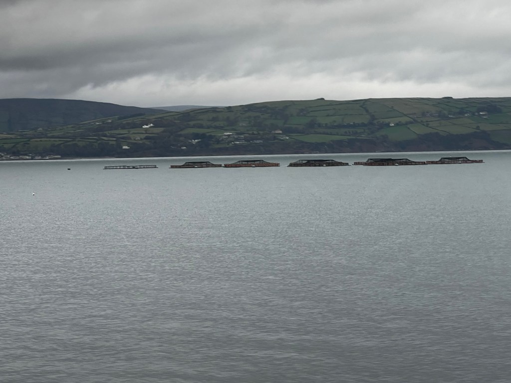
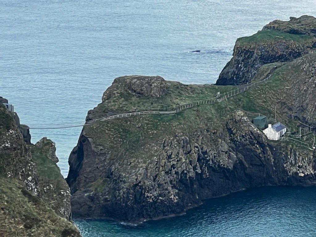
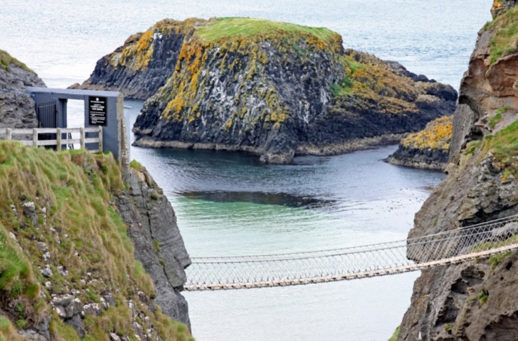
Carrick-a-Rede is closed to high occupancy vehicles like bus tours, but we visited it in 2016, so all we had today were more distant views. Carrick-a-Rede is a rope suspension bridge built between the mainland and an island, by salmon fishermen who discovered they could easily trap the salmon who swam between the island and the mainland. This was risky work, but it worked so well that the salmon were pretty well wiped out. So now salmon are raised in pens offshore.

Now we’re moving on towards the Dark Hedges. The Dark Hedges is an avenue of beech trees along Bregagh Road between Armoy and Stranocum in County Antrim, Northern Ireland. The trees form an atmospheric “tunnel” that has been used as a location in HBO’s television series Game of Thrones, which resulted in the avenue becoming a popular tourist attraction. While the Dark Hedges Hotel was intended to be a lunch stop, we headed instead out to see the Dark Hedges. Popular is right! As I walked across the road, there were four cars pulled into the road where it said “No Road Traffic” and any number of people walking along the road, posing for photos. The 150 beech trees were originally planted on order of the Stuart family (who owned all of the surrounding area) and wanted something striking to impress their visitors.
Of course, no legend would be complete without ghosts. According to legend, the hedges are visited by a ghost called the Grey Lady, who travels the road and flits across it from tree to tree. She is claimed to be either the spirit of James Stuart’s daughter (named “Cross Peggy”) or one of the house’s maids who died mysteriously, or a spirit from an abandoned graveyard beneath the fields, who on Halloween, is joined on her visitation by other spirits from the graveyard.
Planted in the 1770’s, the trees have a lifespan of ~300 years and over time with storms and age, about half are gone. But whomever owns the land has planted saplings to fill in the gaps of the missing trees. It will take centuries for those saplings to match the size of the trees along the road.
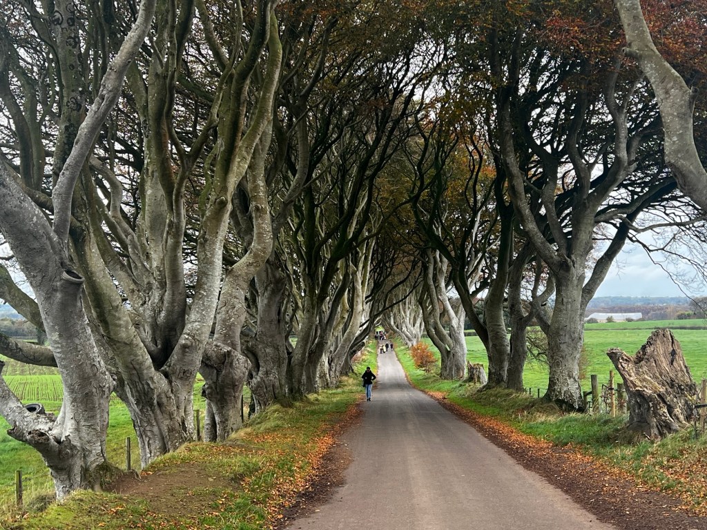
It’s fall, so many of the leaves have started to fall; I’m sure it’s even more impressive when all of the trees are in full bloom.

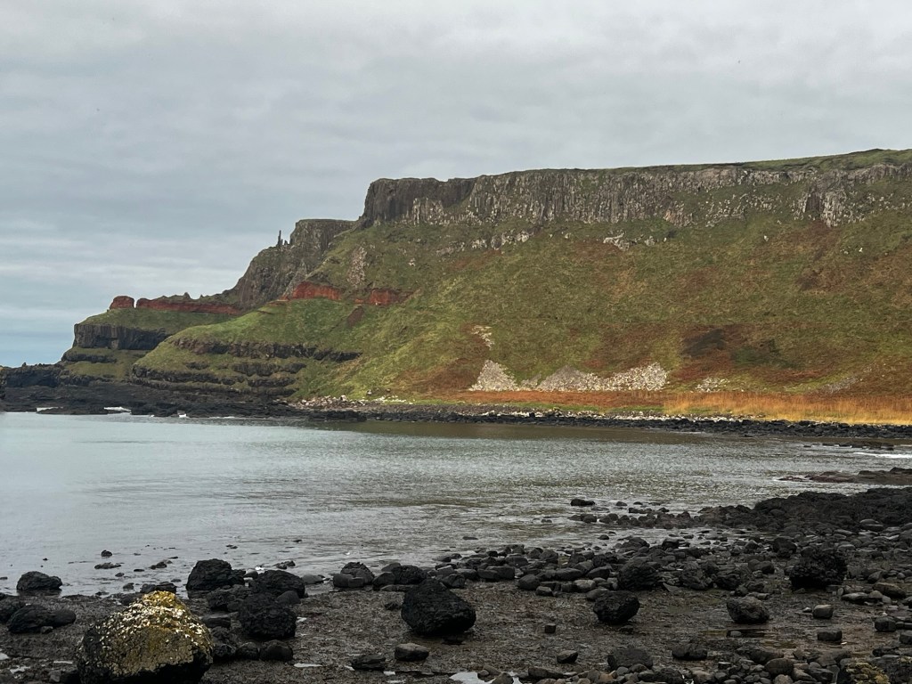
Now after a quick bite of lunch, we’re off to our final destination of Giants Causeway. The Giant’s Causeway (Irish: Clochán an Aifir) is an area of approximately 40,000 interlocking basalt columns, the result of an ancient volcanic fissure eruption. The tops of the columns form stepping stones that lead from the cliff foot and disappear under the sea. Most of the columns are hexagonal, although some have four, five, seven, or eight sides. The tallest are approximately 39 ft high, and the solidified lava in the cliffs is 92 ft thick in places.
A lot has changed from our visit in 2011, with the addition of a visitor center, a tunnel through the entrance, shuttle buses down to the bay. Although we’re supposed to have 90 minutes here, the reality is that if we walk down, it’s ~20 minutes and (20+ minutes uphill back), so for 1£ each way, we take the shuttle bus both ways.
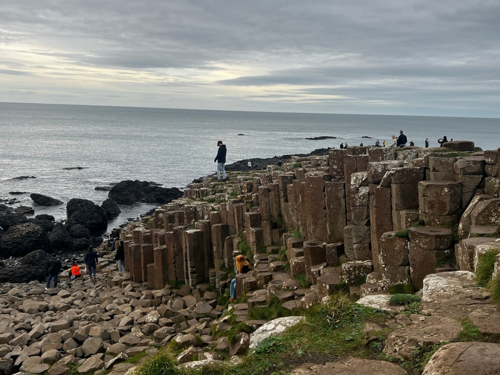
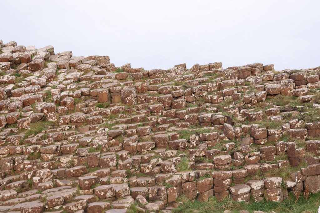

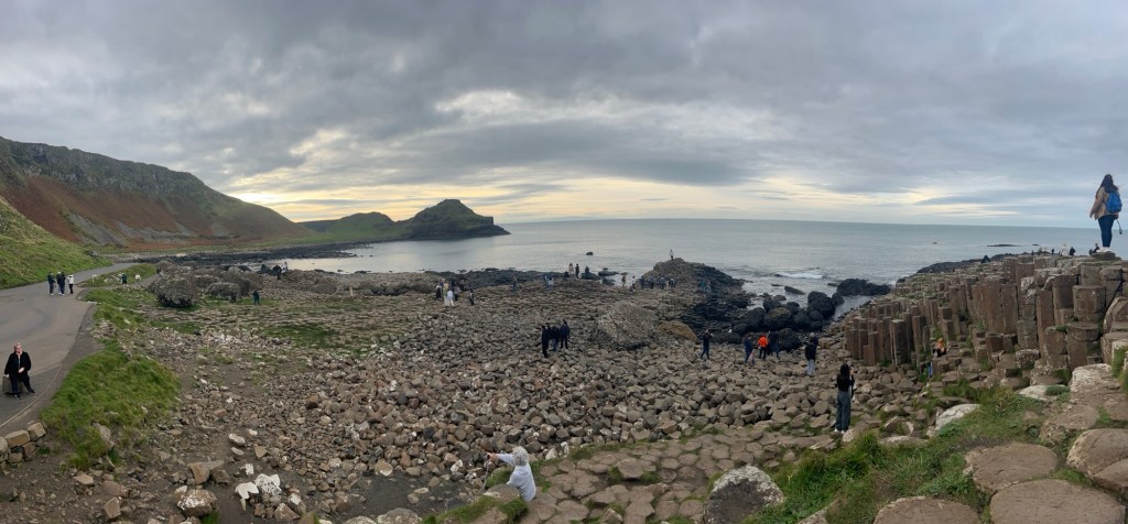
As it was in 2011, it is now, with people climbing the columns, posing for photos. One difference though is there is now Staff watching and warning visitors of dangerous areas.
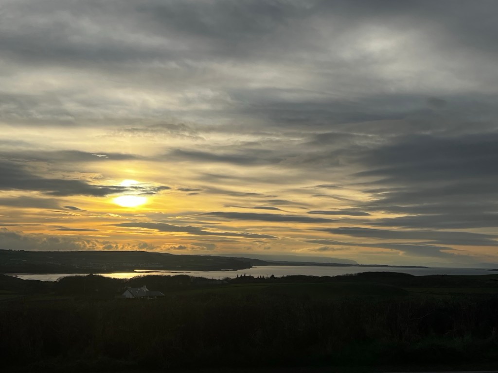
4:30 and it’s getting dark. Back to Belfast.
There’s so much to see and so much history of the area that we really owe it another visit, in a car. 😳

One thought on “Antrim Coast”